|
Welcome to the VANCOUVER IS SPECIAL neighbourhood project
Vancouver is Special is a unique Vancouver city neighbourhood project. Anyone can help build their neighbourhood by adding photos and information about it's history, community events, shops and more.
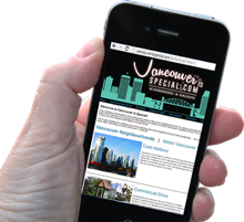
Our goal is to work with our neighbours to create a website that gives the essence and flavour of each neighbourhood by the people that live in it. To add to your neighbourhood, go to the smart phone graphic to your left to start. Our good neighbour program is a great way for local businesses to get a free ad in exchange for giving a gift that we will hand out for free to people as a way to encourage them to visit your neighbourhood. Do you want to host a video? We are working on creating one minute videos of each neighbourhood and we need hosts to do the talking. This is great for local business owners and fun for anyone that likes to be in front of the camera. We would love you to contribute to building this one of a kind website. It's free, but have a few simple rules that you have to follow so that the website remains truly community oriented. Right now we are beta testing this website and we will be starting with a few neighbourhoods then expanding….so please come back often….and help us build Vancouver is Special! Please feel free to link to our page and you can even put a window within your website linking to Vancouver is Special, but please do not take photos and videos from Vancouver is Special.
|
|||||||||
|
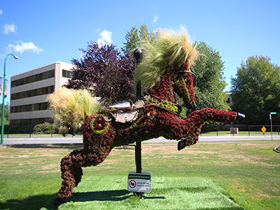
Burnaby occupies 98 square kilometres and is located at the geographical centre of the Metro Vancouver area. Situated between the city of Vancouver on the west and Port Moody, Coquitlam, and New Westminster on the east, Burnaby is further bounded by Burrard Inlet and the Fraser River on the north and south respectively. Burnaby, Vancouver and New Westminster collectively occupy the major portion of the Burrard Peninsula. The elevation of Burnaby ranges from sea level to a maximum of 370 metres (1,200 ft) atop Burnaby Mountain. Due to its elevation, the city of Burnaby experiences quite a bit more snowfall during the winter months than nearby Vancouver or Richmond. Overall, the physical landscape of Burnaby is one of hills, ridges, valleys and an alluvial plain. The land features and their relative locations have had an influence on the location, type and form of development in the city.
Burnaby is home to many industrial and commercial firms. British Columbia's largest (and Canada's second largest) commercial mall, the Metropolis at Metrotown is located in Burnaby. Still, Burnaby's ratio of park land to residents is one of the highest in North America, and it maintains some agricultural land, particularly along the Fraser foreshore flats in the Big Bend neighbourhood along its southern perimeter.
|
||||||||
| |||||||||
|
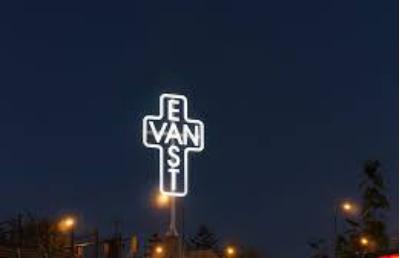
East Vancouver (also "East Van" or the "East Side" or the "East End") is a region on the east side of the City of Vancouver, British Columbia, Canada. Bordered to the north by Burrard Inlet, to the south by the Fraser River, and to the east by the city of Burnaby.
East Vancouver has been the first home for many non-British immigrants since the 1880s. Historically, it was also a more affordable area and traditionally the home for many lower-income working class. The East Side is best summarized by its diversity in family income, land use, ethnicity and mother tongue. Perhaps the best value for money in real estate. |
||||||||
|
Island properties for sale near Vancouver
BOWEN ISLAND = V0N1G
PENDER ISLAND = V0N2M
HORNBY ISLAND V0R1Z
GALIANO ISLAND V0N1P
GABRIOLA ISLAND V0R1X
DENMAN ISLAND V0R1T
SALT SPRING ISLAND = V8K1,V8K2
RUXTON ISLAND = V0R1X
THETIS ISLAND = V0R2Y
LASQUETI ISLAND = V0R2J
TEXADA ISLAND = V0N1W,VON3K
GIBSONS = VON 2W2
KEATS ISLAND = VON 1VG
|
|||||||||
|
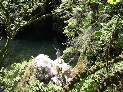
The City of North Vancouver is a waterfront municipality on the north shore of Burrard Inlet, directly across from the City of Vancouver and can be accessed by the Lions' Gate Bridge, the Ironworkers Memorial Second Narrows Crossing, and the SeaBus passenger ferry.
|
||||||||
|
|
South Surrey is a growing neighborhood in Surrey, British Columbia. It borders on the city of White Rock, and has the largest concentration of people over the age of 60 of all Surrey's town centres. South Surrey comprises all of the Semiahmoo peninsula (other than the small wedge of White Rock), and lies between Mud Bay to the northwest and Semiahmoo Bay to the south.
The historic resort community of Crescent Beach is one of South Surrey's most popular attractions. Just up the road, the Historic Stewart Farm located in Elgin Heritage Park, provides a glimpse of Surrey's farming history. Nearby, the Semiahmoo Trail offers recreational opportunities along one of Surrey's earliest trails. Treasured natural features in South Surrey include Serpentine Fen Nature Reserve, Sunnyside Urban Forest and Redwood Park. Recent development in the Grandview Heights neighbourhood of South Surrey has created new shopping opportunities in close proximity to new residential neighbourhoods. South Surrey also offers convenient connections to the United States through the Peace Arch and Pacific Highway border crossings. |
||||||||


| |||||||||
|
| |||||||||
|
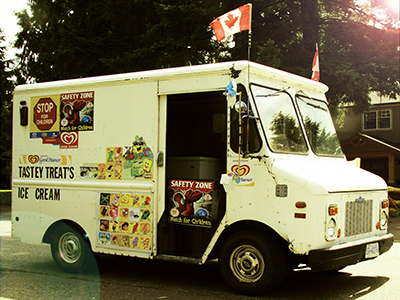
Metro Vancouver. Including Surrey, Delta, White Rock, Langley, Aldergrove, Abbotsford, Burnaby, New Westminster, Coquitlam, Port Coquitlam, Port Moody, Haney etc.
|
||||||||
|
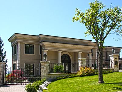
West Vancouver is mainly a residential district as many residents are retired, work at home, or take the short commute to downtown Vancouver. A 25-block strip of Marine Drive serves as a commercial district, featuring shops, small offices, garages and gas stations, restaurants, banks, and other common amenities. This area is commonly known as 'Ambleside', with a one-block section separated from that area known as 'Dundarave'. West Vancouver is also home to Park Royal Shopping Centre, Canada's first mall. Opened in the 1950s, it now consumes 2 km of both sides of Marine Drive near North Vancouver, and is home to several department stores and large retailers, as well as many small retailers. Park Royal is also the largest mall on the North Shore, and is a bus terminal for Blue Bus and North Vancouver TransLink buses.
|
||||||||

|
White Rock is a city in British Columbia, Canada, that lies within the Metro Vancouver regional district. It borders Semiahmoo Bay and is surrounded on three sides by South Surrey. White Rock has become a popular retirement designation with fantastic ocean views and popular beaches.
|
||||||||

